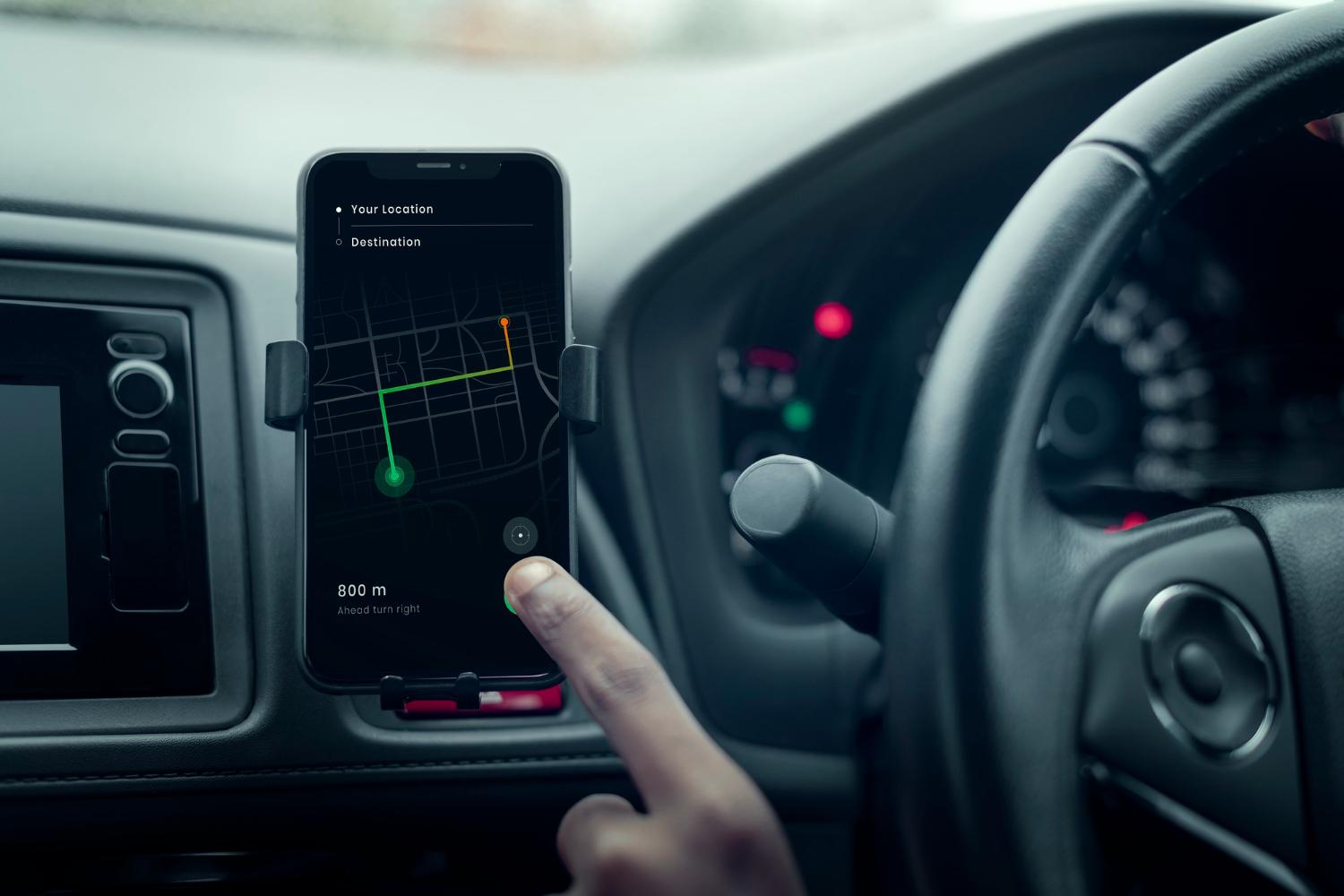
In recent years, GPS technology has revolutionized the way athletes track and improve their performance. Cyclists and runners increasingly rely on apps powered by GPS to monitor their routes, speed, and distance. But before diving into the specifics, it’s important to understand what is GPS navigation. At its core, GPS navigation uses satellite signals to determine your exact location, allowing apps to provide real-time tracking, route guidance, and performance metrics. For cyclists and runners, this technology turns a simple workout into a data-driven, goal-oriented activity.
GPS-enabled apps have become essential for outdoor training. They not only track the distance and pace but also map the exact route taken. This allows users to analyze performance over specific segments, compare different routes, and make adjustments for future workouts. Understanding the role of GPS highlights how technology bridges the gap between casual exercise and performance optimization.
One of the key advantages of GPS in fitness apps is accurate pace measurement. Traditional methods like pedometers or treadmill estimates cannot provide real-world precision. GPS tracking measures speed over varied terrain, elevation changes, and winding paths, giving cyclists and runners reliable metrics to improve endurance and efficiency.
Moreover, GPS allows athletes to plan new routes or explore unfamiliar areas safely. Features such as route mapping, turn-by-turn guidance, and alerts for hazards make outdoor workouts safer and more engaging. Understanding what is GPS navigation in this context shows how satellite-based systems enhance both performance tracking and safety for outdoor exercise enthusiasts.
Tracking Distance, Speed, and Elevation
Cycling and running apps use GPS to provide precise measurements of distance, average speed, and elevation gain. Apps like Strava, Komoot, and MapMyRun record every movement and present detailed statistics post-workout.
Elevation data is particularly valuable for cyclists, as it helps track climbs, descents, and overall effort. By analyzing GPS-tracked elevation profiles, users can plan future routes to target specific training goals, such as hill climbing or endurance building.
Route Planning and Exploration
GPS enables athletes to plan, share, and follow routes easily. For cyclists, it ensures they can navigate long-distance rides or unfamiliar trails without getting lost. Runners can explore new running paths while maintaining accurate distance tracking.
Many apps allow exporting and importing routes, integrating with community-shared paths or competitive segments. This feature encourages exploration while keeping training consistent and measurable.
Real-Time Performance Monitoring
During workouts, GPS provides real-time data on speed, pace, distance, and location. Athletes can adjust effort levels, maintain target pace, or set interval challenges. Some apps include voice or haptic feedback to keep users informed without constantly checking the screen, reducing distractions and enhancing focus.
For cyclists, real-time GPS feedback can alert them to steep climbs, sharp turns, or upcoming hazards, improving safety and situational awareness.
Integration with Health and Fitness Metrics
Many GPS-based fitness apps integrate with heart rate monitors, power meters, and smartwatches. This allows for a comprehensive view of performance, combining location, speed, elevation, and physiological data.
For example, runners can monitor cadence and heart rate alongside GPS-tracked distance, while cyclists can analyze power output against route profiles. This integration helps optimize training efficiency and reduce the risk of overtraining or injury.
Social Sharing and Competitive Features
GPS technology allows apps to provide social and competitive features. Platforms like Strava enable athletes to share routes, achievements, and progress with friends or global communities. Segments, leaderboards, and challenges are based on GPS-tracked data, ensuring fair and accurate comparisons.
This gamification motivates users to improve performance, try new routes, and stay engaged with their training.
Safety and Navigation Benefits
GPS also enhances safety for outdoor workouts. Users can share live location with friends or family, ensuring that help can reach them if needed. Many apps provide turn-by-turn navigation for unfamiliar trails, helping athletes avoid getting lost and preventing accidents.
Emergency features, like SOS signals or geofencing alerts, further increase safety during solo training sessions, particularly in remote or unfamiliar areas.
Future Developments
The future of GPS in cycling and running apps includes more advanced analytics, AI-driven performance suggestions, and better integration with wearables and smart clothing. Multi-constellation satellite support (GPS, Galileo, GLONASS, BeiDou) will improve tracking accuracy even in dense urban environments or forested trails.
These advancements will provide athletes with even more reliable metrics, personalized insights, and enhanced safety features, making outdoor workouts more effective and enjoyable.
Conclusion
GPS technology has transformed cycling and running apps by providing accurate route tracking, performance monitoring, and safety features. Understanding what is GPS navigation highlights the critical role of satellite-based systems in outdoor training, enabling athletes to optimize workouts, explore new routes safely, and engage with global fitness communities. In 2026 and beyond, GPS will continue to enhance the training experience for cyclists and runners, making outdoor exercise more data-driven, efficient, and enjoyable.

 English
 French
 Spanish
 Portuguese
 Deutsch
 Turkish
 Dutch
Dutch
 Italiano
 Russian
 Romaian
 Portuguese (Brazil)
 Greek
Greek